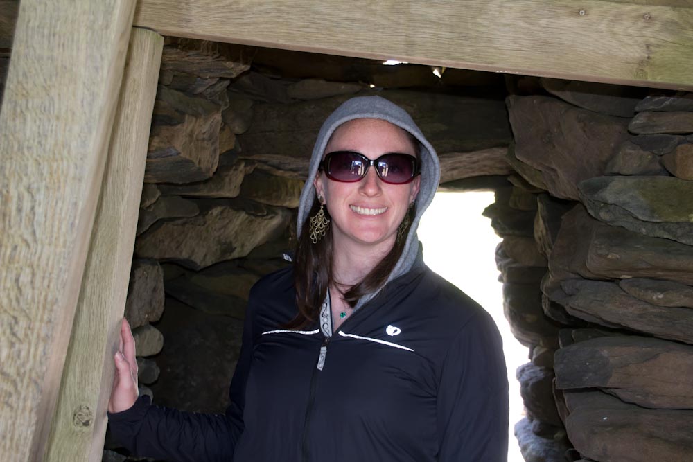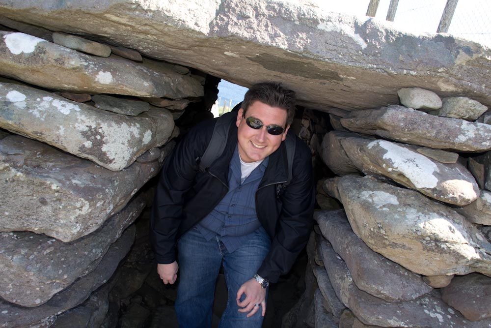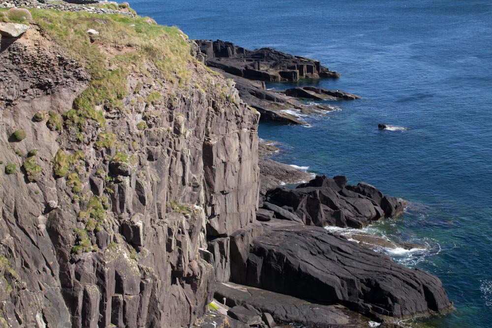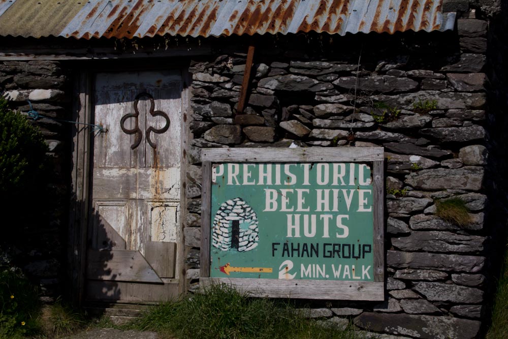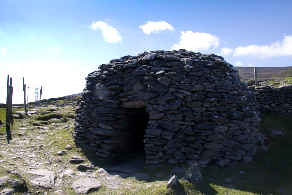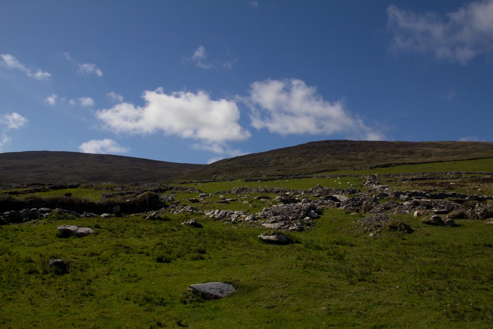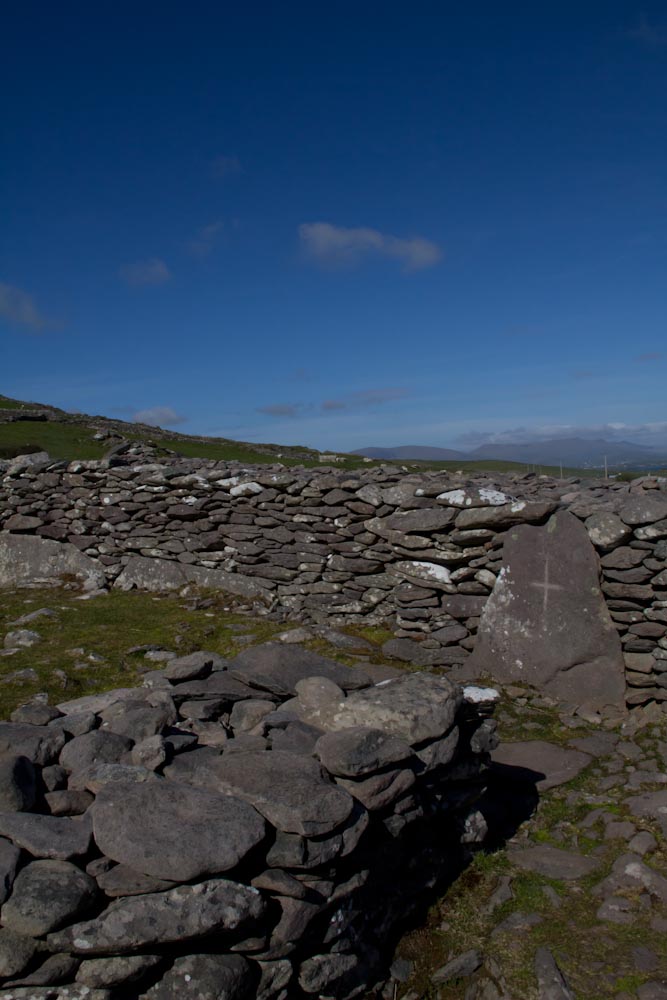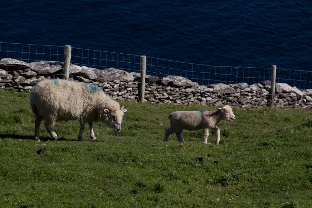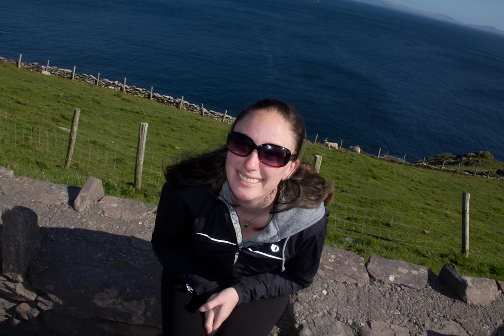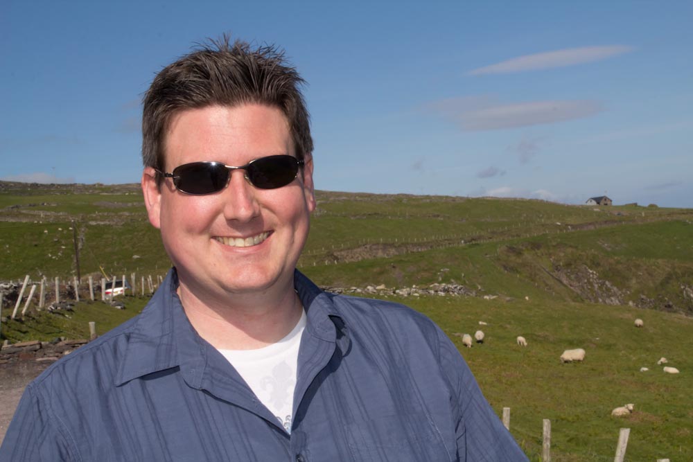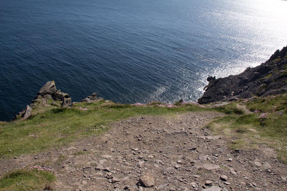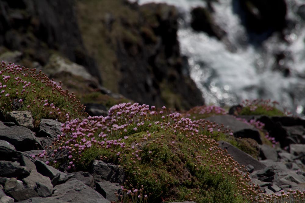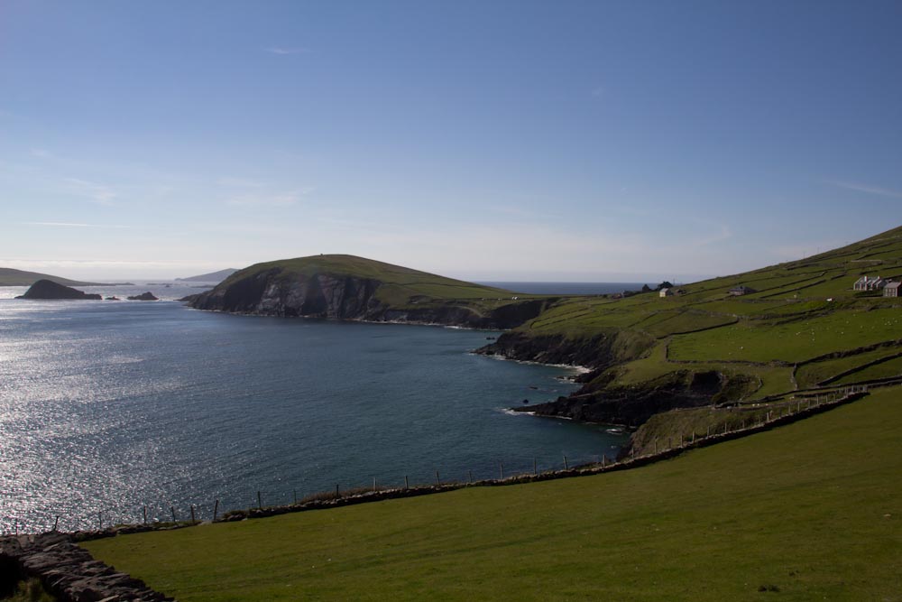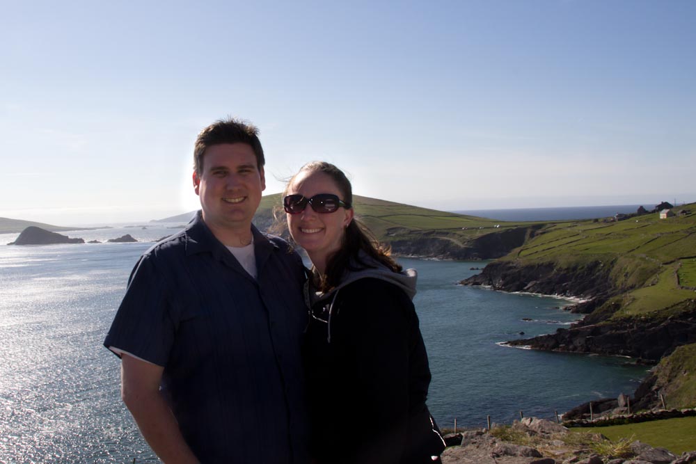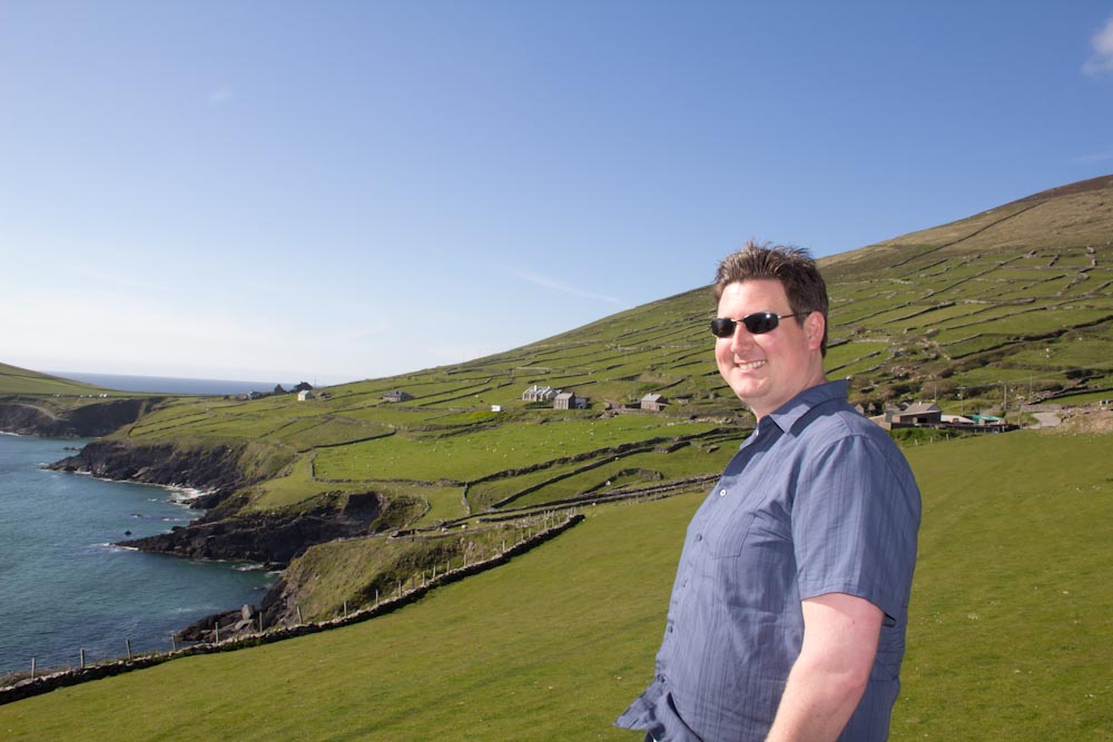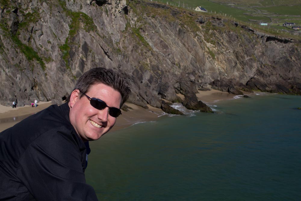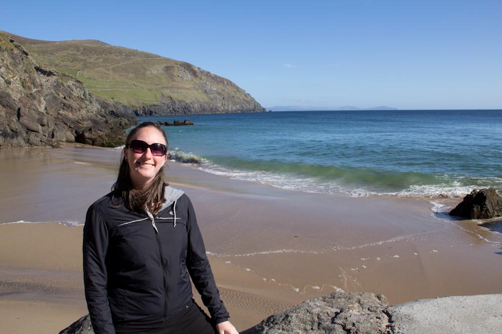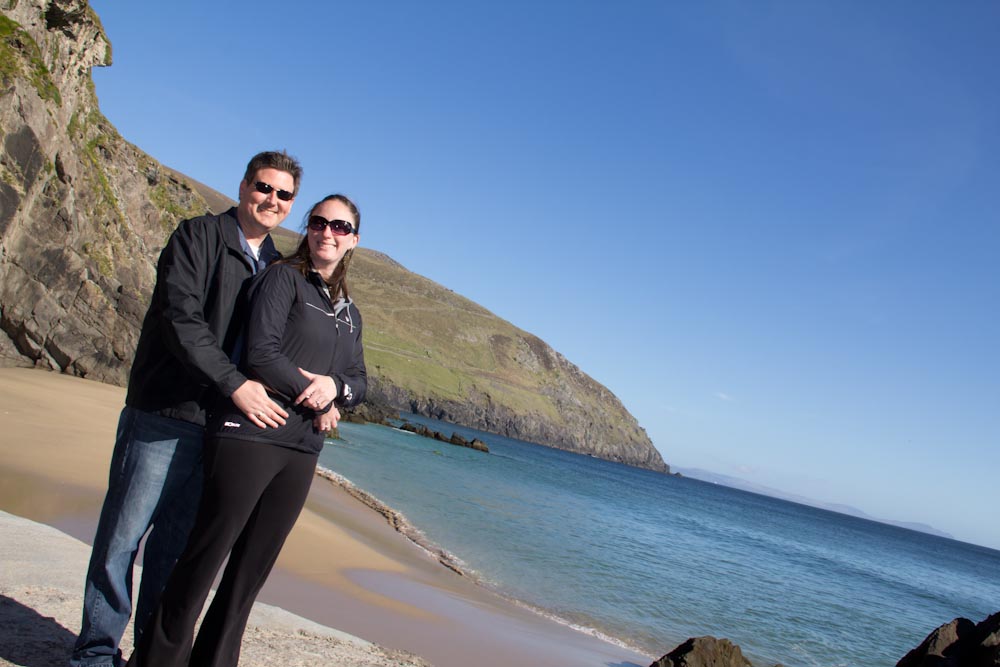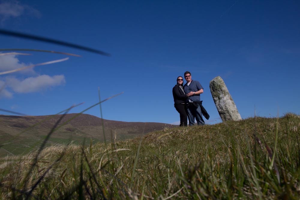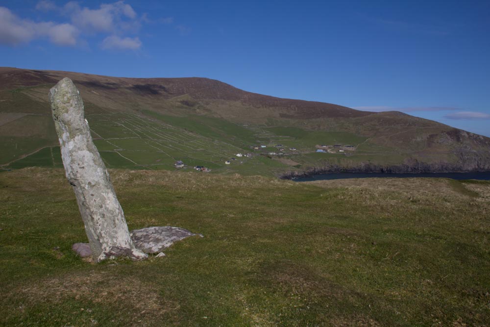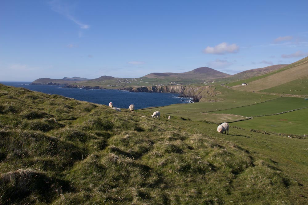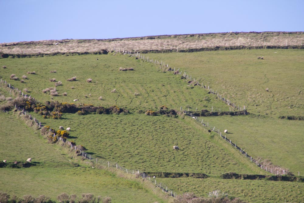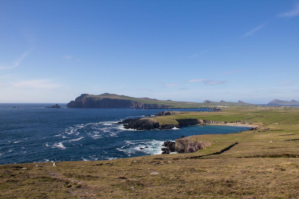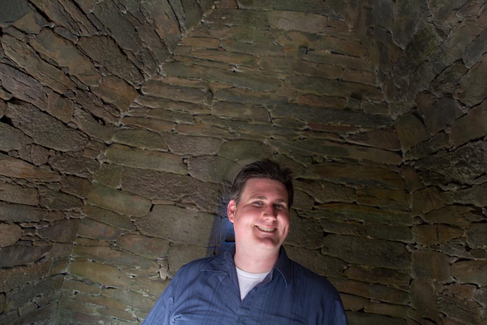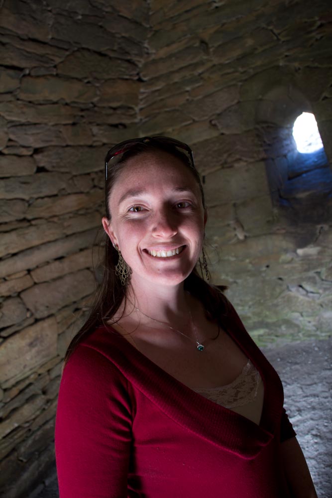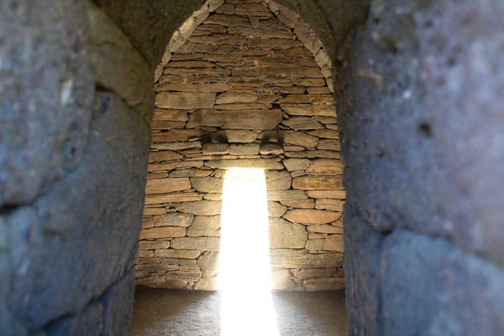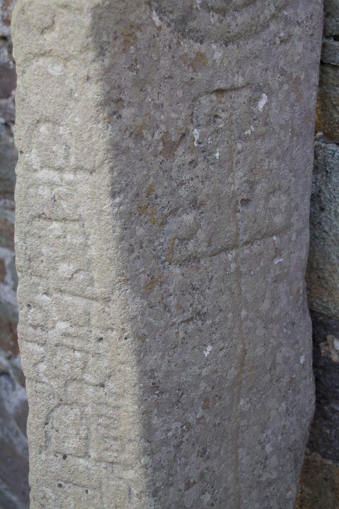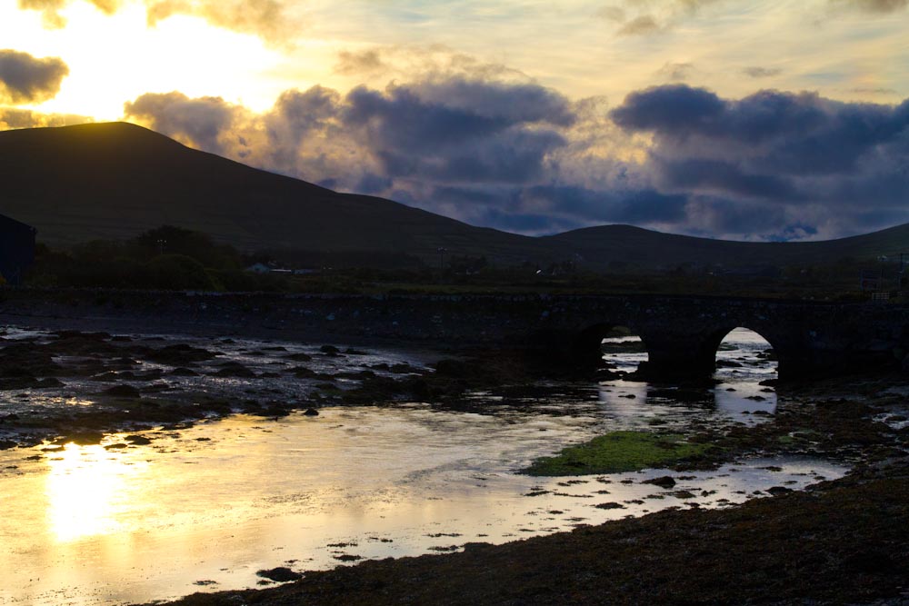
This afternoon once we were settled in the new B&B, Jenn and I went around the Dingle Peninsula. It says it should take 4 hours and we did it in about 3, with some longer stops for my necessary Ogham stone photo. We began with some stops at really old stones structures called “beehives” these were circular structures built in 500 BC, that is 2,500 years ago. They protected the early Irish folk from the harsh winds and kept the food, women & children safe from attackers. Following that we traveled further along the coast taking pictures of the wonderful blue waters, green hills and perfect sky. We had to stop at a special spot for me. That spot was an ogham stone on the hillside that one could say is the western most point in Europe you can walk to. The stone was used as a mile marker before there were maps. I was inspired to find the location because I loved a wallpaper for my computer that was taken there. I did a pretty good job of photos for myself once on the summit of the hill. On other hills we saw the remnants of potatoes left in the ground from the great famine of the 1850s. It is tragic to think that over 75% of the population in this region died or moved away because there was not enough food to eat.
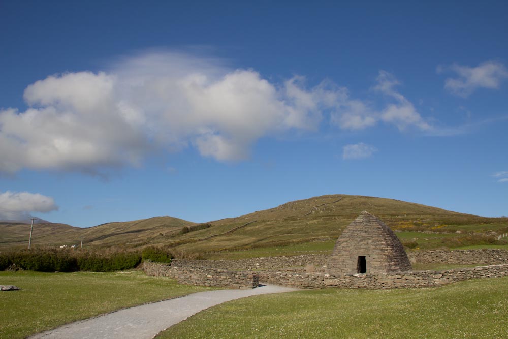
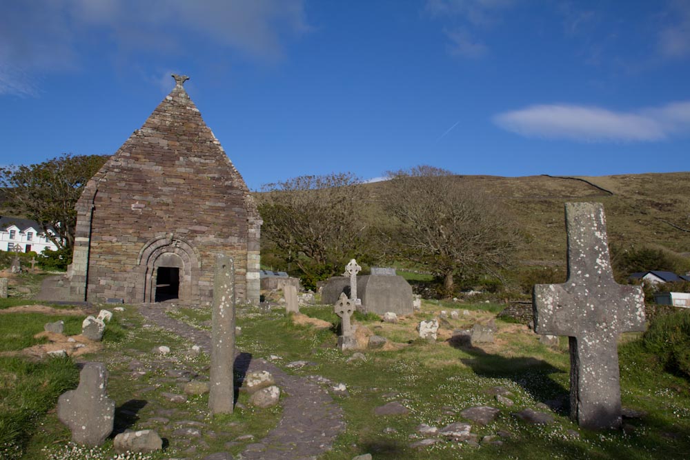
A bit more driving got us to the Gallarus Oratory. This structure is water proof & wind proof and built in 1200 AD by monks to celebrate early Christian holidays. Finally we ended up at a 15th century church that had fallen into disrepair, it was interesting to see some of the old Gaelic headstones mixed in with the newer Christian crosses. This truly is a land where history is all around. I find it so wonderful here and hope to come back to trace the McNeil roots when we have better records to search old cemeteries.
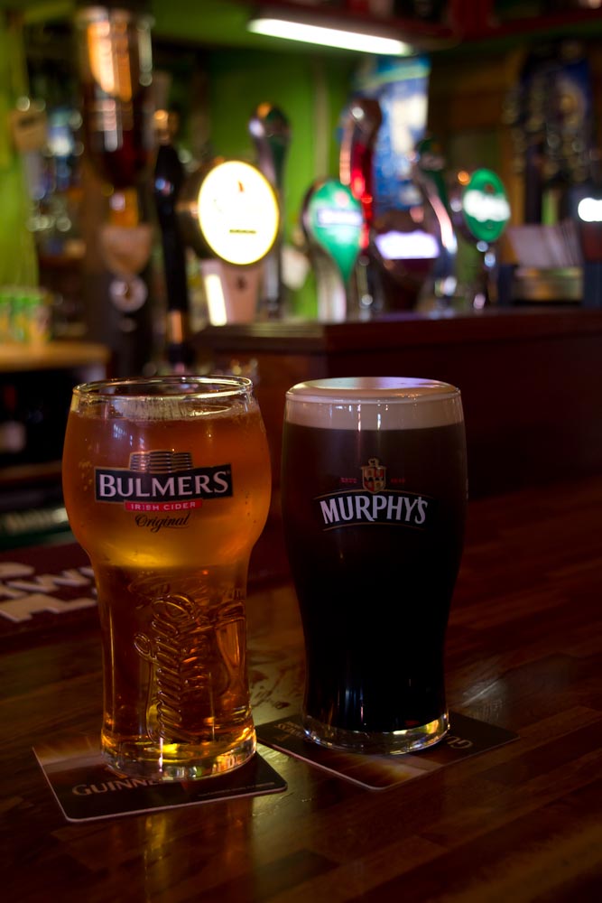
We stopped back in the town of Dingle for a few beers and a delicious pizza and are now fit to retire at 10:30pm – late but still the tiniest bit of light outside. Here is our trip around the peninsula: